LOCATION: (lat. 28°00'00.0" N., long. 82°00'00.0" W.)
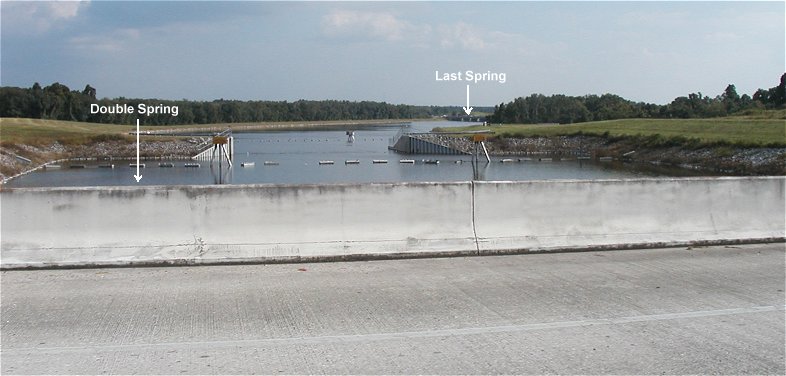
n the Tampa Bypass Canal, just South of the Harney Rd. bridge in Tampa, FL.
DESCRIPTION:
The Tampa Bypass Canal was constructed by the Army Corps Of Engineers in the late 60/70s. It's purpose was to drain excess surface water from the Hillsborough River Basin into Mackay Bay and out to the Gulf. During construction of the canal, at least two new springs were created as excavation efforts scraped the tops off limerock cavities under hydrostatic pressure. Pressure in neighboring springs and wells were undoubtably affected by this.
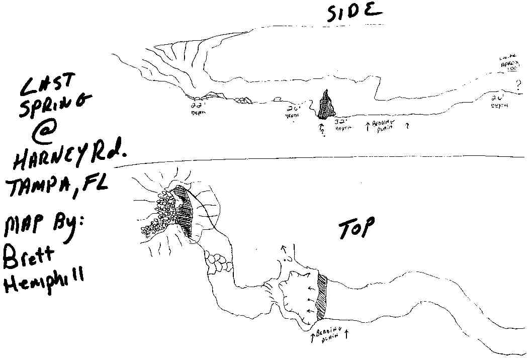
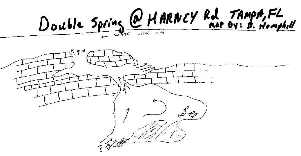
In the late 90's local cave diver Brett Hemphill noticed two significant "boils" on the canals surface in the Harney Road area, near the floodgates. Subsequent exploration dives using a no-mount 80 cu ft tank resulted in the naming and mapping of two small caverns. "Last Spring" is located about 100 yards South of the floodgate, and "Double Spring" is just South of the Harney Rd bridge. The water in the canal is usually very tannic but both springs do have a strong flow and are pumping clear water to the surface. Leave your doubles at home, the caverns are diveable but the shallow depth and tight restrictions make it safer to negotiate with an 80 fitted with a "Y" valve.
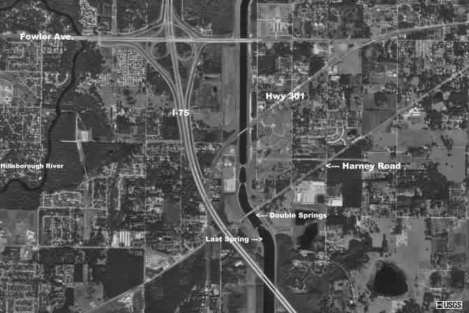
![]() Aerial Photo Of the Bypass Canal
Aerial Photo Of the Bypass Canal

